

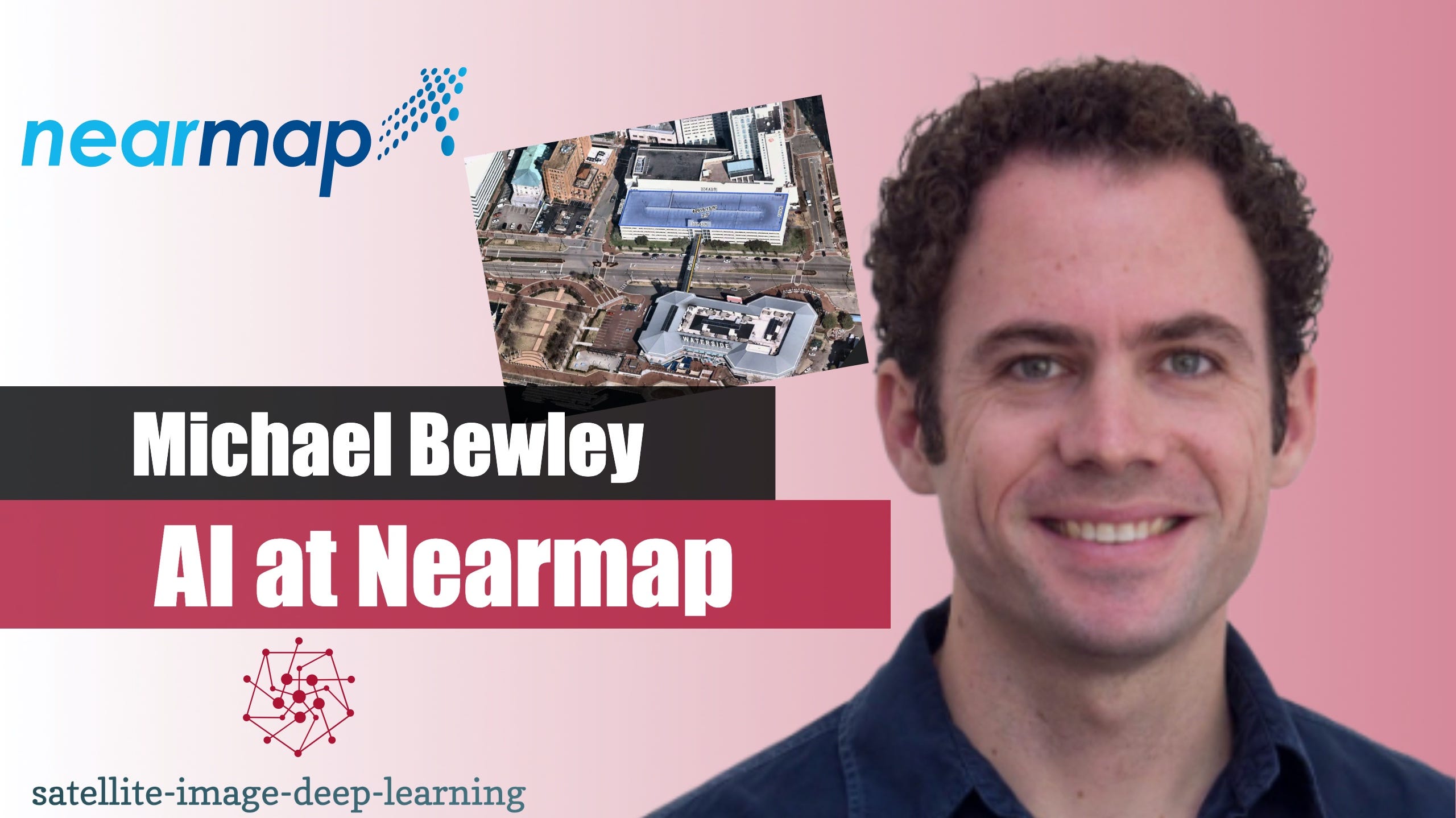
In this video, Robin catches up with Michael Bewley to hear about the use of AI at Nearmap. Nearmap captures very high resolution aerial imagery and Michael and his team have trained a single segmentation model to identify 78 different target layers in the imagery. These layers can then be displayed on a map or accessed via an API. Please note the video is also available on YouTube
Bio: Michael is the Vice President of AI and Computer Vision at Nearmap. He's worked as a data scientist in a range of areas including medical devices, underwater robotics and banking. For the last six years, he's been building machine learning based products on top of Nearmap's technology stack of Australian designed aerial imaging cameras, and one of the biggest aerial capture, photogrammetry and 3D reconstruction programs in the world.


