

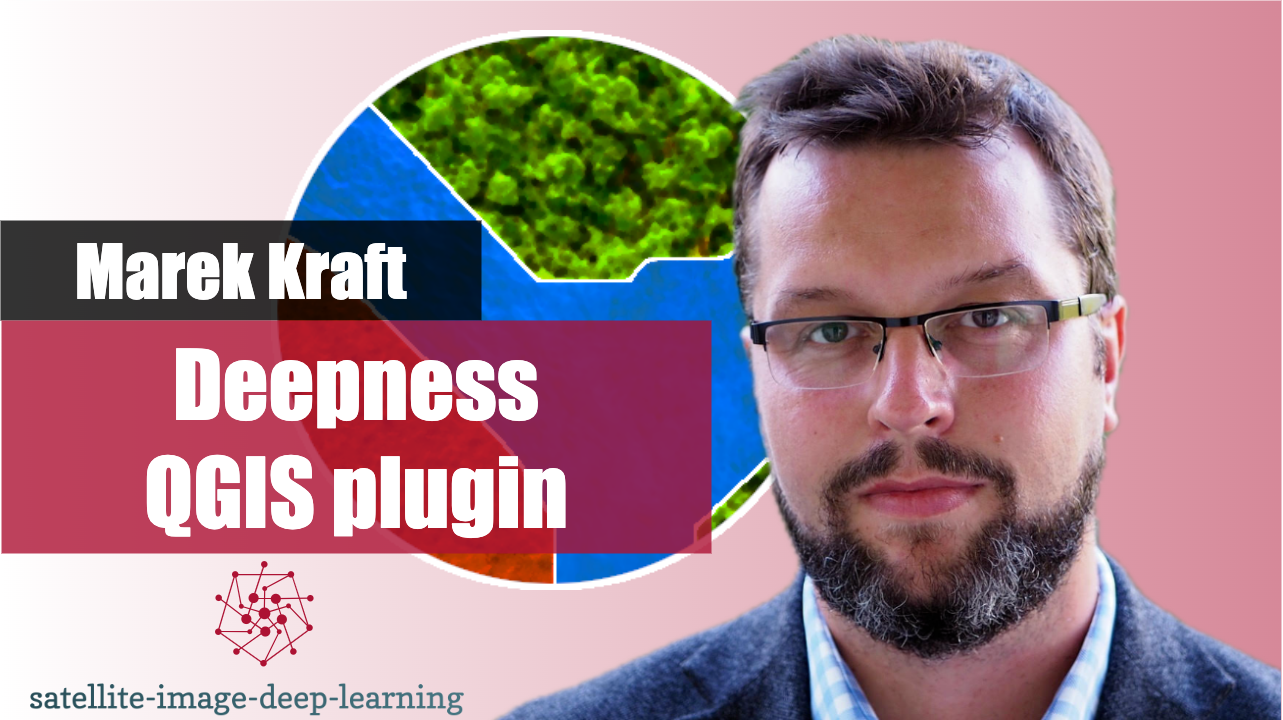
In this episode, I caught up with Marek Kraft to learn about the Deepness QGIS plugin.
QGIS is a widely used open-source tool for working with geospatial data. It’s written in Python, and its functionality can be expanded with plugins. One plugin that recently caught my attention is Deepness, developed by Marek and his team.
Deepness makes it straightforward to use deep learning models in QGIS. You don’t need specialised hardware like GPUs, and it offers a range of pre-trained models through a model zoo.
As a long-time QGIS user, I was thrilled to discover Deepness, and I believe it has the potential to make deep learning much more accessible to geospatial practitioners without deep learning expertise. Marek shared some fascinating examples of how the plugin is being used, and discussed the growing community around it.
Bio: Marek Kraft is an assistant professor at the Poznań University of Technology (PUT), where he leads the PUT Computer Vision Lab. The lab focuses on developing
intelligent algorithms for extracting meaningful information from images, videos, and signals. This work has applications across diverse fields, including Earth
observation, agriculture, and robotics (including space robotics). Kraft's current research involves close-range remote sensing image analysis, specialising in small object detection for environmental monitoring. He also collaborated on European Space Agency projects aimed at extraterrestrial rover navigation and autonomy, making use of his knowledge of embedded systems. His research has led to over 80 publications, several patents, and a history of securing competitive research grants. Kraft is a member of IEEE and ACM.


