


A large fraction of acquired satellite images contain 2D projections of Earth. However, for many downstream applications, 3D understanding is beneficial or necessary. In recent years, deep learning has enabled a number of solutions for learning 3D representations from 2D satellite images.
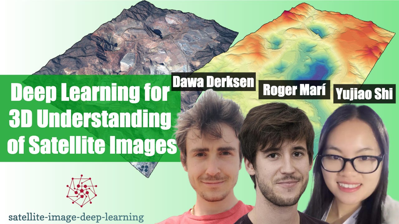
This episode delivers an overview of some of the prominent works in this area. Mikolaj hosts 3 guests: Dawa Derksen, Roger Marí, and Yujiao Shi, providing a summary of each guest’s contributions on the topic as well as a panel discussion. Note you can also view the video of this recording on YouTube here
Dawa Derksen - Origins of Shadow-NeRF
Dawa pursued a post-doctoral research fellowship at the European Space Agency from 2020-2022, and is currently working at the Centre National d’Etudes Spatiales (French Space Agency) where he is involved in the field of 3D Implicit Representation Learning applied to Remote Sensing.
🖥️ Shadow-NeRF
Roger Marí - EO-NeRF
Roger is a post-doc researcher from Barcelona specialised in 3D vision tasks. He is currently working at the Centre Borelli, ENS Paris-Saclay, in France, where his research topic is the application of neural rendering methods to satellite image collections. He is the author of Sat-NeRF and EO-NeRF, some of the first models in the literature to provide quantitatively convincing results in terms of surface reconstruction.
Yujiao Shi - Connecting Satellite Image with StreetView
Yujiao is a research fellow at the Australian National University. She obtained her PhD degree at the same institute. Her research interests include satellite image-based localisation, cross-view synthesis, 3D vision-related tasks, and self-supervised learning.
Host & Production: Mikolaj Czerkawski


