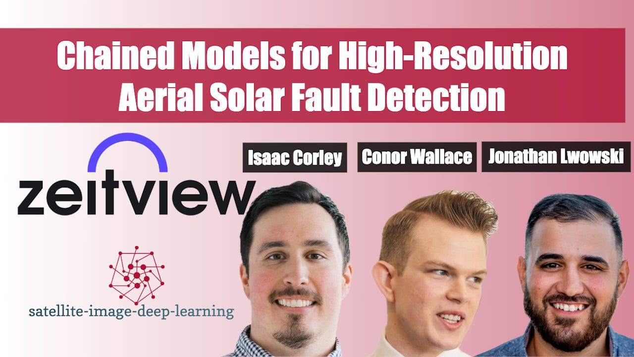
In this episode, I caught up with Jonathan Lwowski, Connor Wallace, and Isaac Corley to explore how Zeitview built an AI-powered system to monitor solar farms at continental scale. We dive into the North American Solar Scan, which surveyed every 1MW plus site using high-resolution aerial RGB and thermal-infrared imagery, then processed it through a chained ML pipeline that detects panel-level defects and fire risks. The team discusses the challenges of normalising data across regions, why a modular cascaded model design outperforms monolithic end-to-end approaches, and how human-in-the-loop review ensures high precision. They also share insights from building a generalised ML library on top of Timm, Segmentation Models PyTorch, and TorchVision to accelerate model training and deployment, their philosophy of prioritising data quality over chasing SOTA, and how the same framework extends to wind, telecom, real estate, and other renewable assets.
Jonathan bio: Jonathan Lwowski is an accomplished AI leader and Director of AI/ML at Zeitview, where he guides high-performing machine learning teams to deliver scalable, real-world solutions. With deep experience spanning start-ups and enterprise environments, Jonathan bridges cutting-edge innovation with business strategy, ensuring AI efforts are aligned, impactful, and clearly communicated. He’s passionate about unlocking AI’s potential while fostering a culture of technical excellence, collaboration, and growth.
Conor bio: Conor Wallace is a Machine Learning Scientist at Zeitview, where he develops computer vision systems - including vision-language models - for geospatial AI applications in aerial inspection and infrastructure monitoring. His work integrates visual, thermal, and spatial data to build scalable systems for analysing assets such as solar farms, wind turbines, and commercial rooftops. He is also completing a Ph.D. in Electrical Engineering, where his research focuses on agent modelling in multi-agent systems, emphasising behaviour prediction in dynamic, non-stationary environments. Conor is passionate about applying state-of-the-art machine learning to real-world challenges in remote sensing and intelligent decision-making.
Isaac bio: Isaac Corley is a Senior Machine Learning Engineer at Wherobots, where he builds scalable geospatial AI systems. He holds a Ph.D. in Electrical Engineering with a focus on computer vision for remote sensing. Isaac previously worked as a Senior ML Scientist at Zeitview and a Research Intern at Microsoft's AI for Good Lab. He is a core maintainer of TorchGeo and is passionate about advancing open-source tools that make geospatial AI more accessible and production-ready.

