


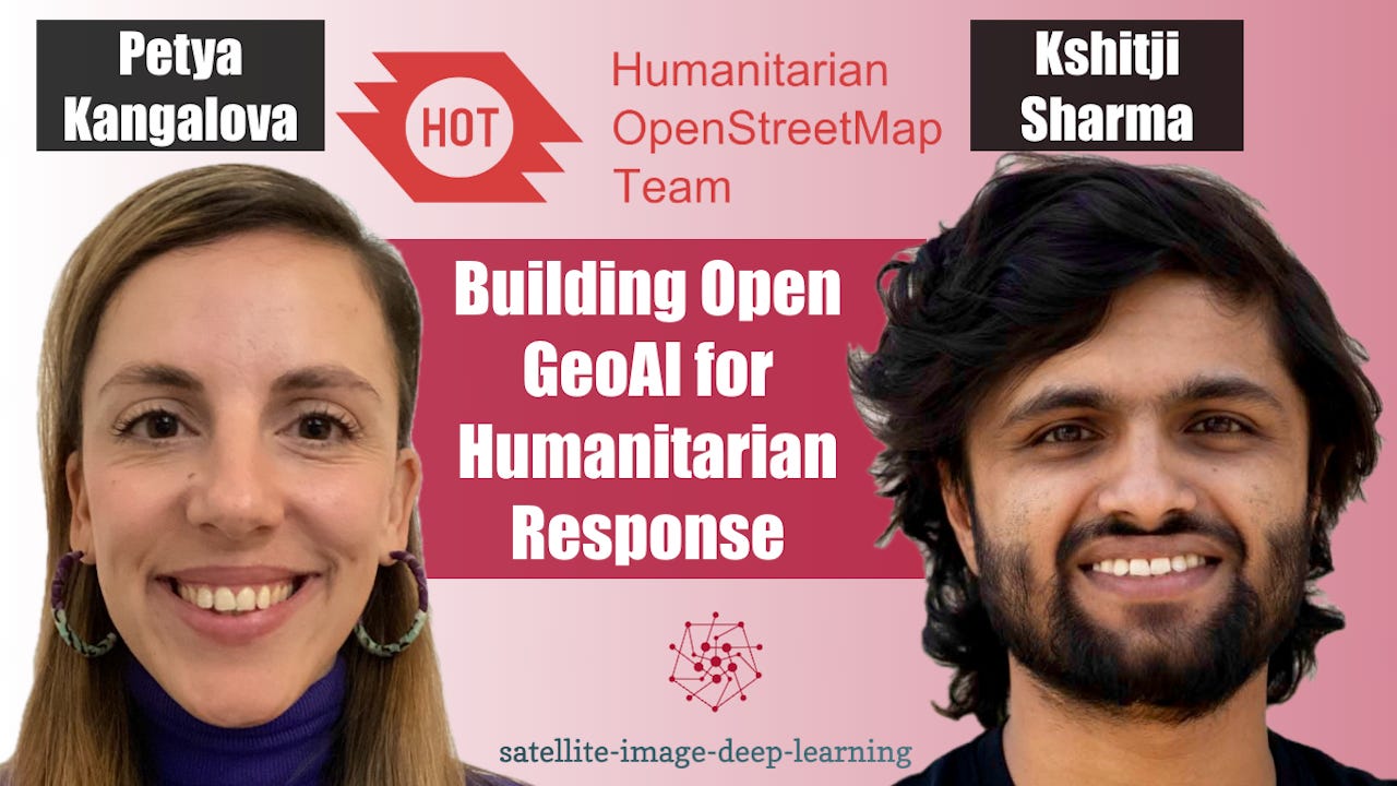
In this episode I sat down with Petya Kangalova and Kshitij Sharma from the Humanitarian OpenStreetMap Team (HOT) to discuss how GeoAI and community-driven mapping are being combined to support disaster response and humanitarian action. We explore how HOT works with local communities to generate training data, fine-tune AI models for specific geographic regions, and rapidly identify areas requiring attention following disasters. Petya and Kshitij explain why human validation remains essential, particularly in regions where existing training data is limited, and how open-source collaboration can help address these challenges. We also dig into the new version of HOT’s fAIr platform, which aims to make GeoAI models easier to discover, deploy, and reuse through standardised pipelines and the STAC-MLM specification. Finally, we discuss their open call for community-contributed models, the technical requirements for participation, and opportunities for researchers and developers to get involved, including available funding.
Bio: Petya Kangalova is the Senior Technology Partnership and Engagement Manager at the Humanitarian OpenStreetMap Team (HOT), with over 13 years of experience in international development, humanitarian action, and technology for social good. She leads global partnerships and initiatives advancing the use of open mapping technologies, geospatial data, and AI for disaster response and sustainable development. Previously, she spent five years at the International Aid Transparency Initiative (IATI), supporting the adoption of open data and open-source technologies across international organisations. A passionate advocate for open-source innovation and community collaboration, Petya is committed to making geospatial technologies more accessible, inclusive, and impactful.
Bio: Kshitij Raj Sharma is a Senior AI Engineer at the Humanitarian OpenStreetMap Team (HOT), where he develops open-source GeoAI tools for humanitarian mapping and disaster response. He holds a master's degree in Geodata Science and AI for Earth Observation through the Copernicus Master in Digital Earth programme. His research includes VHR-Bench, a benchmark evaluating geospatial foundation models on very-high-resolution imagery. An OpenStreetMap contributor since 2016, he joined HOT in 2021 and is now a core developer and maintainer of fAIr, HOT's AI-assisted mapping platform. He is also a founding member of OSGeo Nepal and an active contributor to the open-source geospatial community.


